Orthomosaic Services in Florida
Unlock Comprehensive Insights with Our Orthomosaic Services
Why Choose Our Orthomosaic Services in Florida?

Visual Clarity
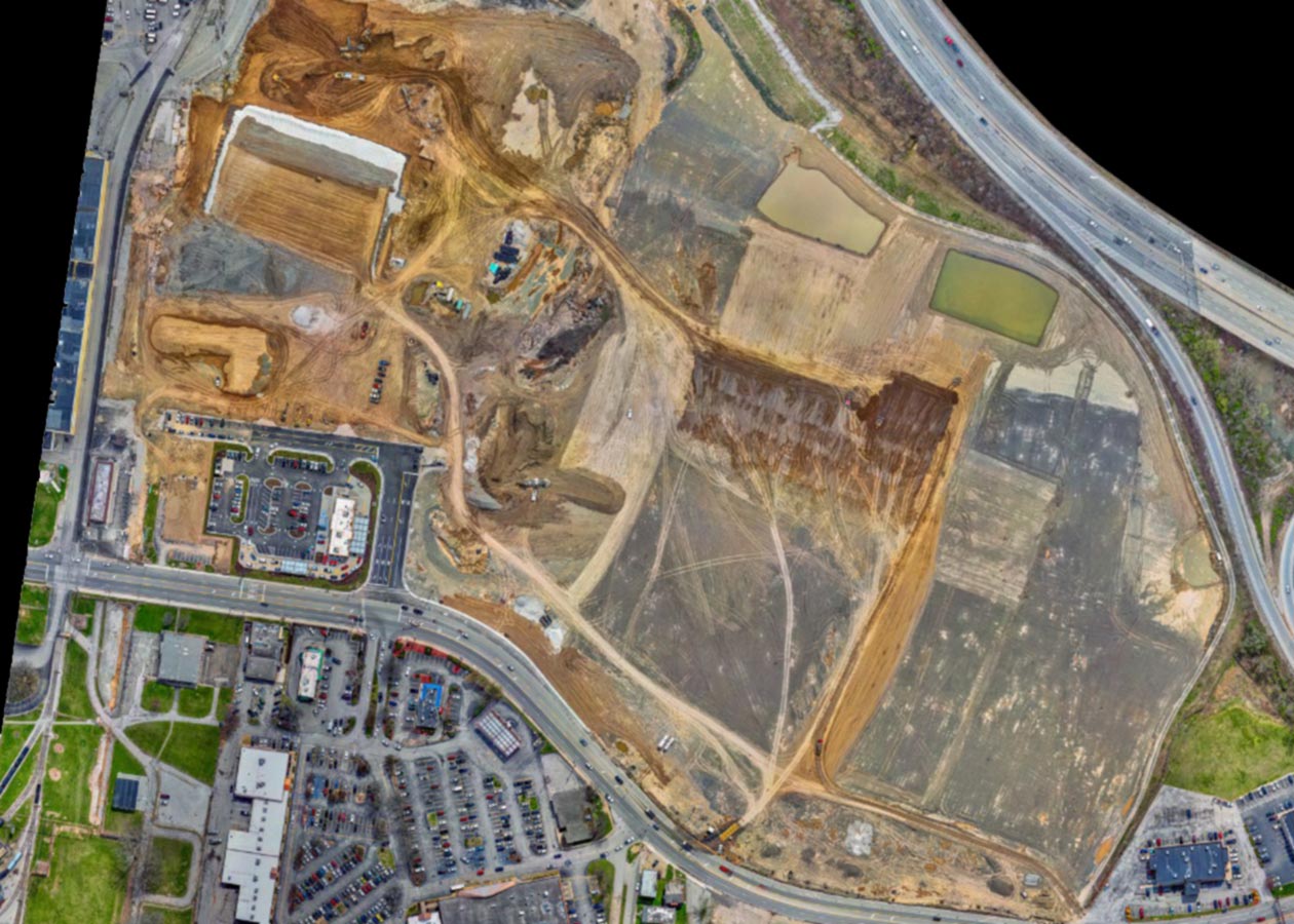
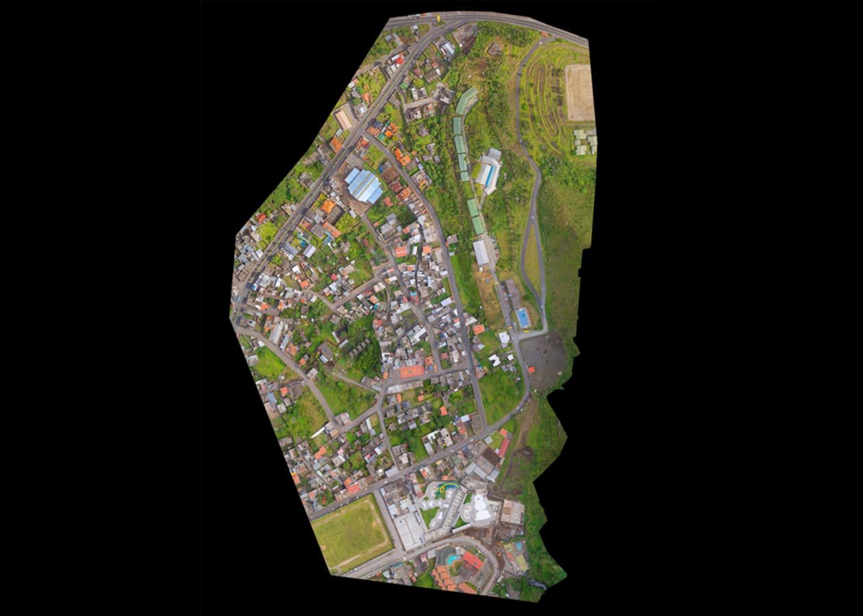
Our drones, equipped with high-resolution cameras, capture a multitude of images to create clear and detailed orthomosaics that offer exceptional visual clarity. These visual assets are perfect for industries across Florida.
Data-Driven Insights
Our orthomosaics serve as the foundation for data-driven insights. Whether you’re involved in land mapping, environmental analysis, agriculture, or construction, our orthomosaic services offer valuable information that helps you make informed decisions.
Versatile Applications
The applications of our orthomosaic services are versatile and adaptable to your specific needs. Whether it’s topographic mapping, site planning, or vegetation analysis, our Drone Mapping Services technology caters to diverse projects in cities like Miami, Tampa, Orlando, and more.
Efficient and Cost-Effective
We understand the need for efficiency and cost-effectiveness. With our orthomosaic services, we save you time and operational costs, allowing you to complete your Florida-based projects swiftly.
Data Processing: Using sophisticated software, we process these images to create seamless orthomosaics.
Orthorectification: We correct geometric distortions, resulting in accurate representations of Florida’s landscapes.
Georeferencing: We add precise geographic coordinates to the orthomosaics, enabling precise measurements and data integration for your Florida-based projects.
Delivery: We deliver the final orthomosaics in the format of your choice, ready for analysis and decision-making.
Our Orthomosaic Process in Florida

Our Orthomosaic Process in Florida

Data Processing: Using sophisticated software, we process these images to create seamless orthomosaics.
Orthorectification: We correct geometric distortions, resulting in accurate representations of Florida’s landscapes.
Georeferencing: We add precise geographic coordinates to the orthomosaics, enabling precise measurements and data integration for your Florida-based projects.
Delivery: We deliver the final orthomosaics in the format of your choice, ready for analysis and decision-making.
