Drone 3D Modeling Services
Discover the Future of Visualizations with Our Drone 3D Modeling Services
Why Choose Our Drone 3D Modeling Services?

Swift Data Collection
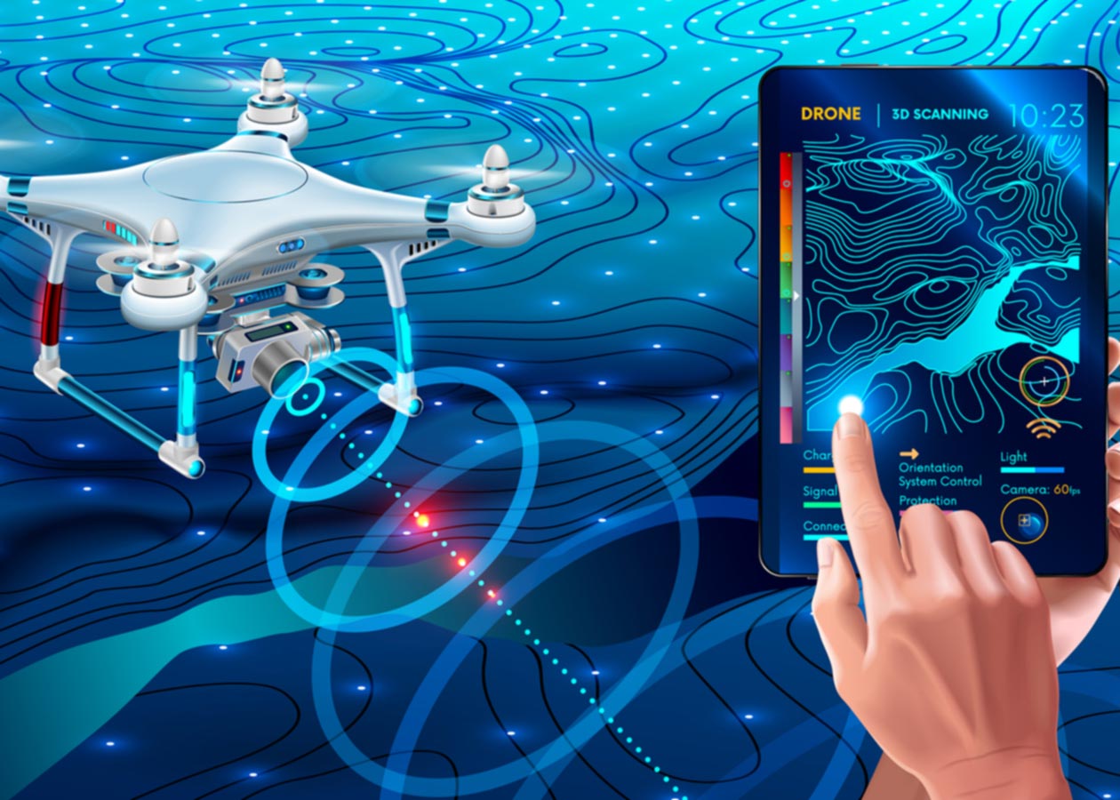
Our advanced drones equipped with high-resolution cameras are adept at swift data acquisition. This means reduced project timelines and quicker access to valuable insights for applications in architecture, construction, environmental assessments, and more.
Versatile Applications
The applications of our drone 3D modeling services are vast and diverse. Explore architectural modeling, infrastructure inspection, environmental monitoring, and more. Our technology adapts to meet the unique needs of your project.
Cost-Efficiency
We understand the importance of cost-effectiveness in today’s competitive landscape. By utilizing our drone 3D modeling services, you not only save on operational costs but also gain valuable insights that can lead to better decision-making and project efficiency.
Environmental Responsibility
Our commitment to the environment is unwavering. By utilizing drones, we minimize the need for ground-based machinery and reduce our ecological footprint. We are proud to contribute to sustainable practices.
Data Capture: Our advanced drones collect data through aerial photography, capturing every angle and detail of the area of interest.
Client Consultation: We work closely with our clients to ensure that the 3D model serves their specific needs and objectives.
Data Processing: The collected data is processed using cutting-edge software to creating 3D models from images of the environment.
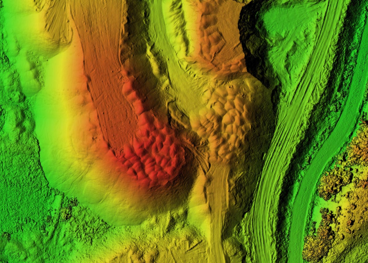
Analysis and Visualization: The 3D model is analyzed and visualized, providing insights into the terrain, structure, and other critical aspects of the area.
Delivery: The final 3D model is delivered to the client in the preferred format for easy integration into their projects and decision-making processes.
Our Drone 3D Modeling Process

Our Drone 3D Modeling Process

Client Consultation: We work closely with our clients to ensure that the 3D model serves their specific needs and objectives.
Data Processing: The collected data is processed using cutting-edge software to create a 3D model of the environment.
Analysis and Visualization: The 3D model is analyzed and visualized, providing insights into the terrain, structure, and other critical aspects of the area.
Delivery: The final 3D model is delivered to the client in the preferred format for easy integration into their projects and decision-making processes.
Unlock New Perspectives with Drone 3D Modeling
Whether you’re in construction, land development, architecture, agriculture, or environmental science, our drone 3D modeling Photography services will transform the way you see and analyze your projects. Experience the future of visualizations with Aerial Optix.
